August 12, 2020Updated flood zone maps for Charleston County will take effect in January 20211. The maps are based on more accurate…
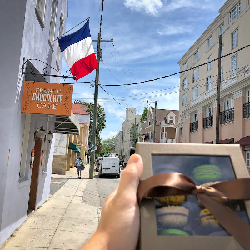
- June 12, 2019Our current experience of Lowcountry French presents somewhere on the spectrum of French rustic/Gullah traditional Parisian patisserie/East Bay café.
 February 22, 2018Charleston combats tidal flooding by installing check valves in stormwater drains, effectively reducing street flooding during high tides. Early results…
 November 10, 2013A transformative project through the center of the peninsula of Downtown Charleston is in the works – a linear park…