CharlestonLivability
The smarter way to discover exactly where you want to call home.
A practical guide to how Charleston actually works, so you can understand the places behind the listings and make better decisions about where and how to live.
Real Estate in Charleston
A practical approach to real estate in Charleston.
Three local realities shape how Charleston works – and understanding them changes how you evaluate every neighborhood.

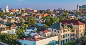
Charleston is always changing,
but communities still shape daily life.
Livability is driven less by distance than by how your daily life fits together. Streets, bridges, schools, and everyday destinations often matter more than mileage alone. A place can look convenient on a map yet feel surprisingly disconnected.
Every community in Charleston is going to structure your daily life a little differently.

Charleston isn't one market – it's many different ones.
Pricing, competition, and buyer demand change from one community to the next. Those differences are shaped by access, schools, zoning, growth, and dozens of local conditions that rarely make the headlines.
Local context predicts value better than regional headlines.

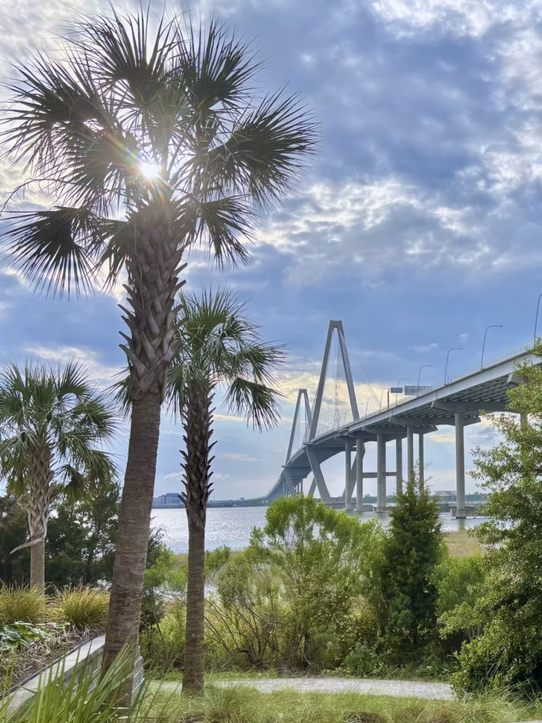
Charleston has always built around water – sometimes wisely, sometimes not.
In the Lowcountry, elevation, drainage, and stormwater infrastructure are not side issues. They influence how a property lives, what it may cost to maintain, and how a property performs over time.
Water has shaped development in Charleston for centuries – and still does.
See how these patterns take shape across the Lowcountry.
Explore Charleston
Understand how places connect before focusing on listings.
Loading map…
No map data available.
Map data could not be loaded.
Featured Guides
Practical guides for understanding Charleston before making a real estate decision.

Walkable Neighborhoods in Charleston
Discover Charleston’s most walkable neighborhoods – from historic cores like Downtown and Old Village to New Urbanist enclaves like I’On and Daniel Island. Real estate broker Bryan McElveen explains what makes each
Read more →

Invasive Plants – A Charleston Field Guide
A homeowner’s guide to invasive plants in the Charleston Lowcountry. Learn to identify common invasive vines, trees, grasses, and aquatic plants before they become costly problems.
Read more →
Technology Corridor
Charleston’s Tech Corridor blends old industrial streets, startup offices, loft-style condos, breweries, and evolving upper peninsula neighborhoods into one of the city’s more complicated and interesting places to live and work.
Read more →
Sandlapper Journal
Local observations, market notes, and the context behind a changing Charleston.
View the Journal