Charleston communities
Start with the map.
Charleston makes more sense when you see how communities connect across rivers, bridges, beaches, and growth corridors.
Loading map…
No map data available.
Map data could not be loaded.
Browse by area
Pick a region, then compare how each area works.
These groups are practical starting points. Use them to compare access, water, housing patterns, and daily fit before narrowing the search.
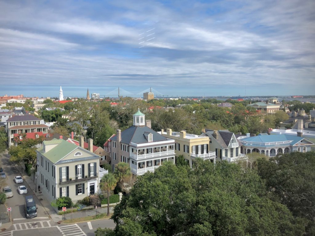
Downtown Peninsula
Historic core, walkability, preservation rules, parking friction, tourism pressure, and the densest concentration of Charleston’s architectural fabric.
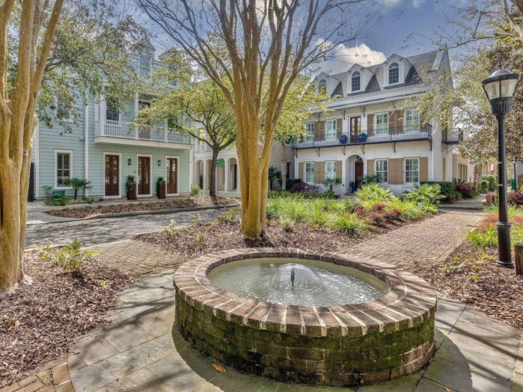
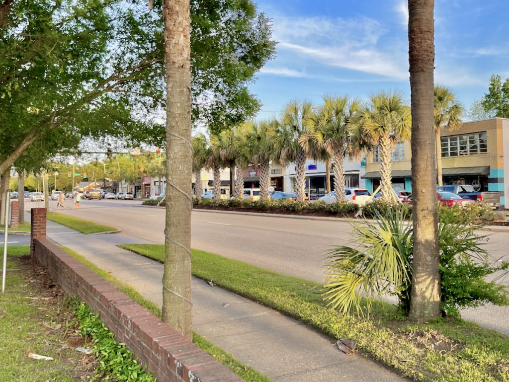
Across the Rivers
Suburban and semi-urban communities shaped by bridges, school zones, errands, commute routes, and daily access patterns.
North of
Growth-driven markets where price point, infrastructure, commute routes, and new development patterns often matter as much as proximity.

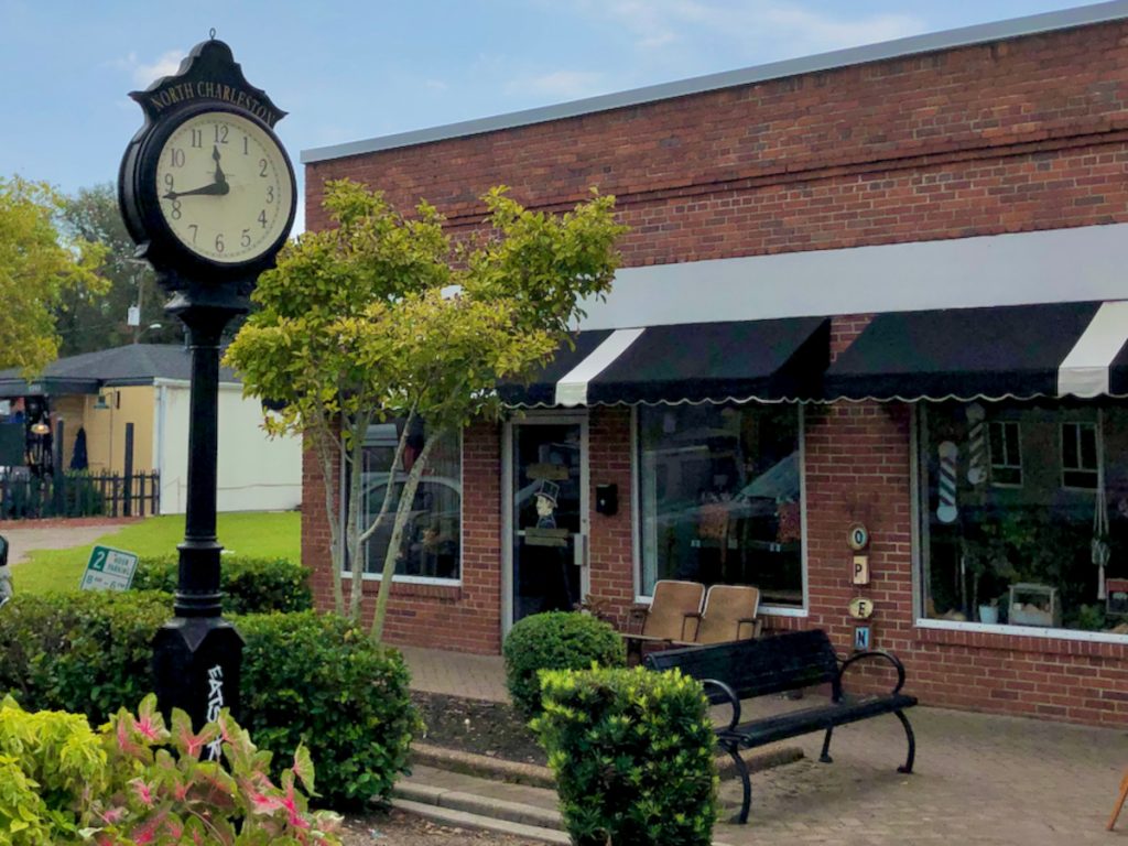
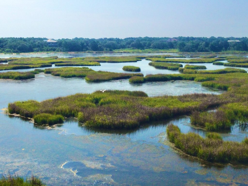
The Beaches
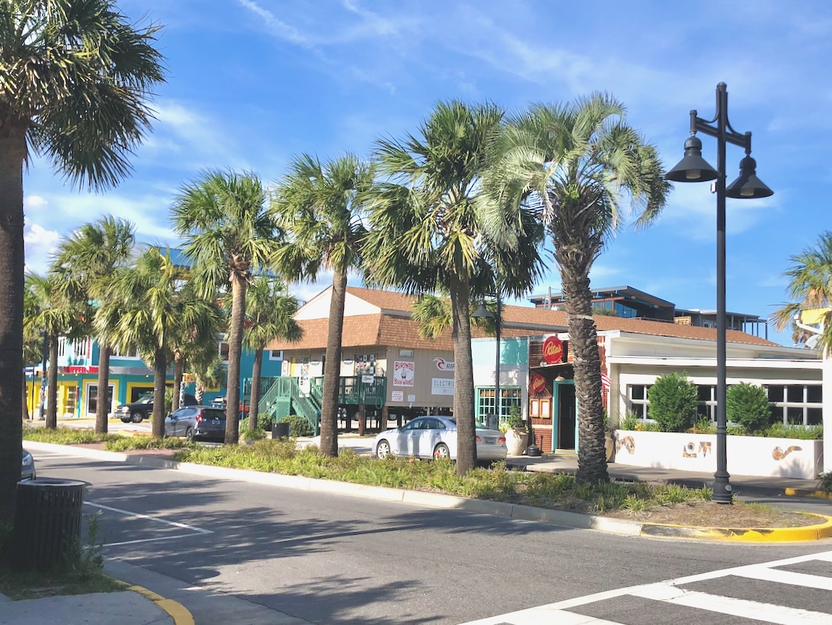
Barrier island and coastal communities where lifestyle, access, water, insurance, rental rules, and ownership costs need to be considered together.
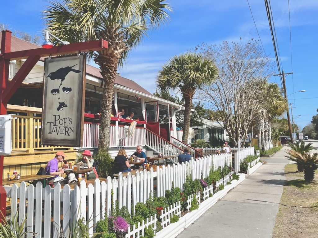
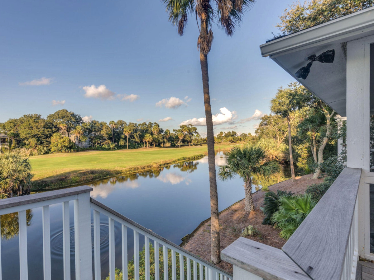
Ready to narrow the search?
Start with communities, then use search when the area begins to make sense.