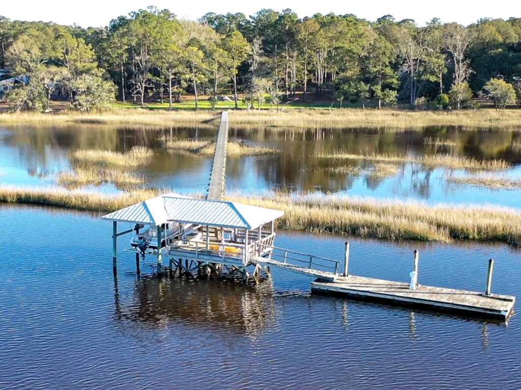
Johns Island has long been defined by agriculture, waterways, and a relatively dispersed pattern of settlement. Farms, wooded acreage, historic communities, and homes along the Stono and Kiawah Rivers still give much of the island a distinctly rural character, even though development has accelerated considerably over the past two decades.
Most newer growth has followed the island’s limited network of major roads, particularly Maybank Highway, River Road, and Main Road. New subdivisions and commercial centers have filled in around older homes, farms, and businesses, creating a landscape where rural and suburban development often sit side by side rather than in neatly separated districts. Planning efforts have tried to concentrate some of that growth into more compact centers, but the island’s road network remains one of its defining constraints.
That makes location especially important when comparing homes. Distance from Charleston may look modest on a map, but bridge access, traffic on Maybank and Main, flood exposure, proximity to daily shopping, and the amount of nearby development can change the experience considerably. Johns Island still offers space and landscape that are increasingly difficult to find close to Charleston, but it is no longer simply the quiet countryside just beyond town.