I’ve always paid attention to places.
The subjects have changed over the years, but the interest has remained fairly consistent: how places take shape, how people live in them, and why some decisions age better than others. Charleston Livability is where those interests finally ended up in the same room.
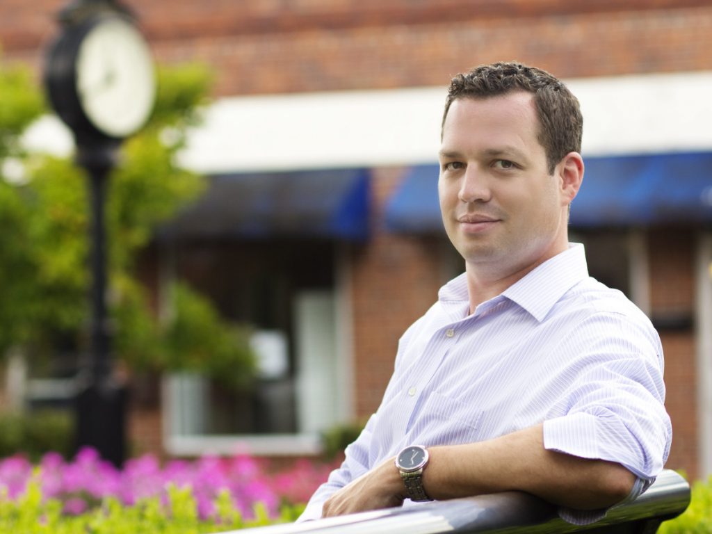
I grew up watching South Carolina change.
Growing up in South Carolina in the 1980s and 1990s gave me a front-row seat to a state changing shape. Cities were growing, suburbs were spreading, and even as a kid I understood that the built environment was not inevitable. Someone decided what got built, where it went, how people reached it, and whether it felt like a place made for human beings or just another acre of asphalt.
I did not have much of a vocabulary for any of this at the time. I did, however, spend an unreasonable amount of time with SimCity. I still occasionally unwind with Cities: Skylines, which is a strange hobby unless you find it satisfying to fix, reroute, rezone, and redesign problems that are much harder to solve in actual cities.
What interested me was the fact that places are made. Land, roads, buildings, utilities, and public space do not simply arrange themselves, although the results occasionally suggest otherwise. The choices behind them determine how people get around, what they can reach, and how much effort ordinary life requires.
Long before real estate, that interest led me toward science.
For a while, the work was biology.
I was most interested in the relationship between the built and natural environments: how development could work with land, water, trees, and native plants rather than simply clearing everything flat and calling the result progress.
That led me to biology and ecology at the University of South Carolina, and later to molecular biology work at the Hollings Marine Laboratory. Scientific work taught me to look closely, question convenient explanations, and pay attention to what happened elsewhere when one thing changed.
It was useful training, although I eventually realized that I wanted to do more than study complicated things. I wanted to help people understand them.
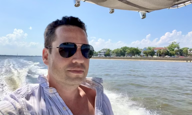
Someone has to live with the answers.
Charleston gave all of those interests somewhere practical to land. I became interested in urban design and in writers such as Jane Jacobs and Jeff Speck, who paid attention to street life, walkability, scale, and the ordinary reasons one place works better than another.
I also discovered that I genuinely liked real estate. I like houses—the architecture, the history, the occasional peculiar renovation, and the ways people adapt them over time. I am just as interested in what begins outside the property line.
In Charleston, water, traffic, shade, distance, and history have a way of making themselves relevant. A house can photograph beautifully and still make ordinary life unnecessarily difficult. A more modest one can work very well because the neighborhood around it does.
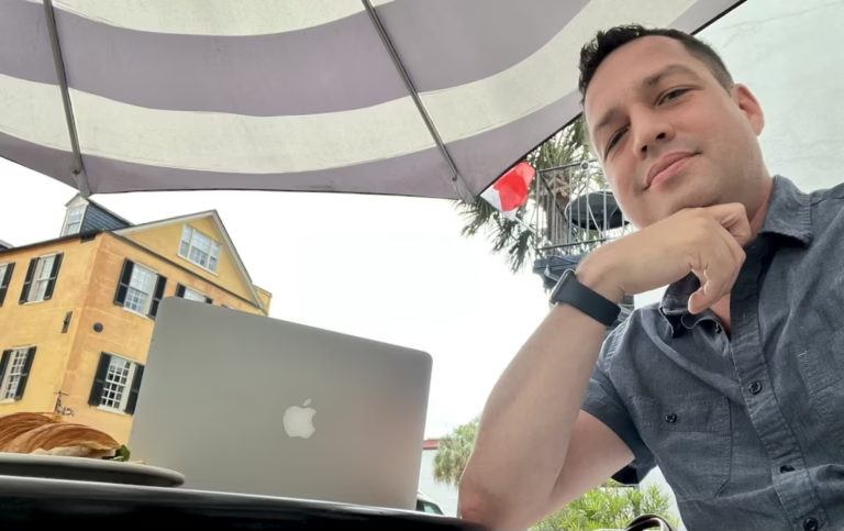
A place should work for people.
I believe streets, public spaces, and neighborhoods should be designed around the people expected to use them. This should not be a radical position, although development occasionally treats it as one. That means safer streets, useful public space, shade, housing choices, and plans that acknowledge Charleston’s land and water rather than behaving as though neither has been discovered yet.
My interest in sustainability is similarly practical. Energy use, durability, repair, mobility, and long-term affordability stop being abstract virtues once they arrive on a household budget. I support the Sustainability Institute and Charleston Habitat for Humanity because they turn those ideas into specific work: healthier homes, lower energy use, essential repairs, and more durable paths to ownership.
Charleston Livability grew from the same general point of view. I built it to bring local writing, maps, neighborhood context, property search, and real estate guidance into one place. Listings make more sense when you understand the place around them.