The West Ashley Greenway
The West Ashley Greenway is one of Charleston’s better examples of useful restraint: a former rail corridor turned into a long public path without requiring anyone to pretend it is a lifestyle brand. It runs across West Ashley from the Main Road side toward Folly Road, passing marsh edges, neighborhoods, shopping areas, and the less-photographed places where daily life actually happens.
Its value is not merely recreational. The Greenway provides a rare continuous route through a part of Charleston where even a short errand can otherwise require a steering wheel, a left-turn prayer, and a generous emotional cushion.
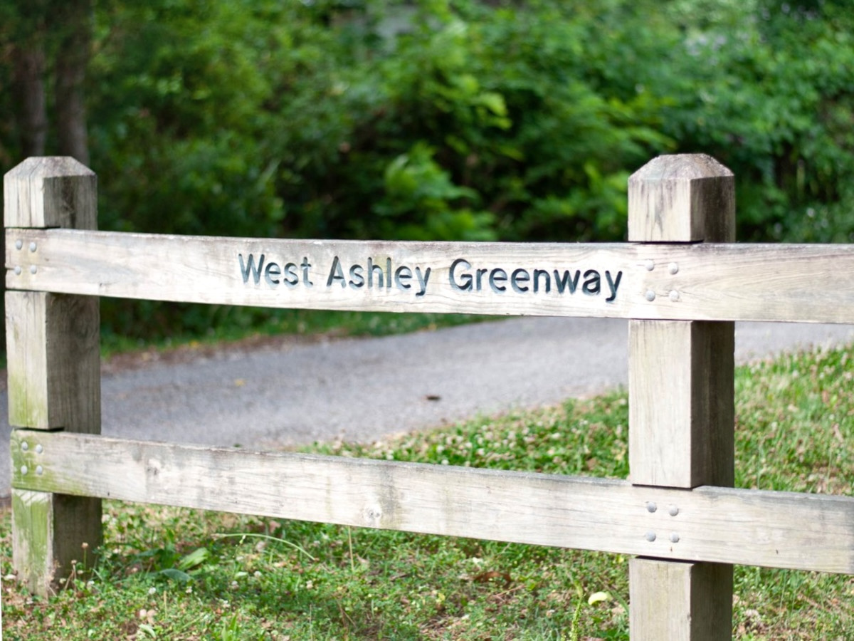
Railway Spine
The path follows a former Atlantic Coast Line rail corridor built for movement rather than scenery. When the rails outlived their original purpose, the alignment remained unusually valuable: direct, continuous, and largely indifferent to the subdivisions and commercial parcels that later accumulated around it.
That inherited logic still shapes the Greenway. It slips behind shopping centers, crosses neighborhood streets, and continues west through increasingly open and marshy sections. It is infrastructure performing a second job, which is often more useful than building a decorative path that begins nowhere in particular and arrives at much the same place.

Full route: about 10.5 miles from South Windermere toward Johns Island.
Surface: mostly hard-packed dirt, with some paved portions.
Hours: generally dawn to dusk.
Parking: available near both ends, with neighborhood access points along the route.
Planning note: city documents sometimes describe a shorter planning corridor than the full continuous trail.
The Routes
The Greenway changes character as it crosses West Ashley. The eastern end is closely tied to South Windermere and everyday errands; the middle sections weave behind neighborhoods and commercial corridors; the western end becomes more open, with marsh edges and longer stretches between destinations.

East: South Windermere
The most urban and immediately useful end of the trail, with access to shops, restaurants, and nearby neighborhoods.
Middle: daily West Ashley
Residential access, shopping centers, parks, and road crossings make this the section where the Greenway most clearly behaves like everyday infrastructure.
West: marsh and open edges
The route gradually feels less urban, with creeks, wetlands, and a stronger sense of leaving the commercial spine behind.
Near the trail
A home five minutes from a comfortable trail entrance may benefit more than one technically closer but separated by an unpleasant road crossing. The useful question is whether the trail changes daily life: a walk to South Windermere, a bike ride, a dog walk, or a route that avoids getting in the car for every minor task.
Direct adjacency also deserves scrutiny. A property backing onto the trail may gain convenient access while introducing privacy, noise, or security considerations. The map pin alone does not settle the matter.
- Can the trail be reached without crossing a hostile road?
- Does it connect to errands, parks, schools, or other useful destinations?
- Is the home beside the trail or merely near an entrance?
- Would adjacency create privacy, noise, or security concerns?
- Would the trail become part of the household’s routine?
Homes by the corridors
Homes along the Greenway
These homes sit near the original east–west corridor, where trail access may support errands, dog walks, bike rides, and a somewhat less car-dependent version of daily West Ashley life.


Homes along the Bikeway
These homes relate more closely to Avondale, Maryville, and the Ashley River side of the network, where the Bikeway serves older neighborhoods and helps extend the Greenway story northward.


Infrastructure
The West Ashley Greenway remains the original spine: a long east–west corridor inherited from the railroad. The West Ashley Bikeway, added later through Maryville and nearby neighborhoods, is best understood as its companion route—not a formal second phase, but the point at which one useful trail began to resemble a network.
That network is still incomplete. Its importance lies in how the pieces can work together: neighborhood routes feeding the Greenway and Bikeway, safer crossings stitching together broken segments, western paths reaching toward Johns Island, and the Ashley River Crossing carrying the system over the river toward Brittlebank Park and downtown Charleston.
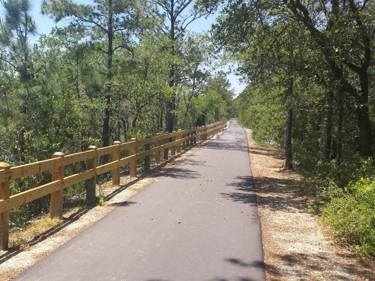
What matters next: The network does not need excessive decoration. It needs safe crossings, clear entrances, useful wayfinding, shade, seating, and links that make the separate pieces function as one system.
The Larger Point
The Greenway began as a rail corridor and became a public route. The Bikeway extended the idea into another part of West Ashley. The Ashley River Crossing will make the relationship clearer by linking the system toward downtown.
None of this replaces the need for safer streets or better transit. It does show what can happen when existing corridors are treated as practical infrastructure rather than leftover land.
The Greenway’s best quality is not that it is scenic, though parts of it are. Its best quality is that it goes somewhere.
Explore West Ashley
Use the current listings above as a starting point, then evaluate the route from the property itself. A five-minute walk on paper can become a fifteen-minute encounter with traffic surprisingly quickly.
