Interstate 526: The Highway Charleston Never Finished
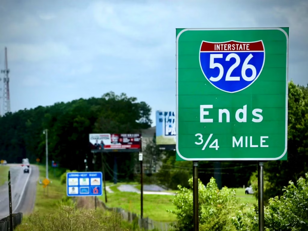
I-526 looks unfinished because, strictly speaking, it is. The highway loops from Mount Pleasant through Daniel Island, North Charleston and West Ashley before ending abruptly at Savannah Highway. Several miles away, the James Island Expressway points toward the other end of a connection Charleston has debated for more than half a century.
On May 12, 2025, the South Carolina Transportation Infrastructure Bank, SCDOT, and Charleston County agreed to terminate the funding agreement for that missing link. Meanwhile, the state was advancing plans to rebuild and widen major portions of the highway that already exist. To understand why Charleston was abandoning one piece of I-526 while planning major work on another, it helps to look at what the road was supposed to do – and how the road itself changed development across the Lowcountry.
The beltway that Charleston never finished
Planning for what became I-526 began long before the modern extension fight. The original concept was not merely a West Ashley bypass or an East Cooper connector, but a regional beltway that Charleston would build in fits and spurts.
Planning for what became I-526 began in the 1960s, as Charleston’s growth made a circumferential route look like a sensible way to connect an increasingly scattered region. The recognizable inner-belt concept emerged in the early 1970s. On paper, a beltway is tidy and straightforward: a line around the city, with none of the marshes, bridges, or bitter arguments filled in yet.
Construction began in 1979, and the first Ashley River and West Ashley segment opened in 1982. The route reached I-26 in 1989 and took the I-526 designation, then crossed the Cooper and Wando river systems toward Daniel Island and Mount Pleasant in 1992. Each completed segment made the next one more useful, which is one way infrastructure acquires both momentum and a long memory.
Also in 1989, a major hurricane exposed the Lowcountry’s vulnerability when a limited set of coastal connections suddenly mattered even more. Evacuation, freight and regional resilience entered the same transportation conversation. The southern connection toward Johns Island and James Island was not a recent appendage; it was the unresolved end of the original beltway idea.
Induced demand
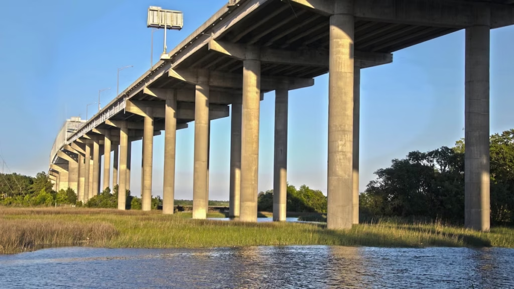
The completed highway did not simply carry trips that already existed. It changed which places were practical to build, commute from, and connect to the rest of the region.
Before I-526, Daniel Island was a large piece of relatively inconvenient land between the Cooper and Wando rivers, accessible only by backroads. The Mark Clark Expressway made the island regionally legible before it made it urban. Once the road crossed the water and tied the island to the rest of the network, master planning had a practical geography to follow. The Daniel Island interchange at Exit 24 made that relationship more obvious: 526 established a front door to the rural expanses of Daniel Island.
The mechanism is straightforward: new access changes which trips make sense. Land that was inconvenient becomes developable; housing and employment follow; those uses create trips of their own. Daniel Island is a crisp example of a road accommodating growth while also helping produce the conditions for more of it. Mount Pleasant is the larger, messier version – I-526 did not create East Cooper’s growth by itself, but it substantially expanded the practical reach of the entire area.
That same relationship between access and development would later make the proposed extension across comparatively rural Johns Island so contentious. A new road can relieve pressure, but it can also give pressure somewhere new to go.
Wando, Daniel Island and the freight problem
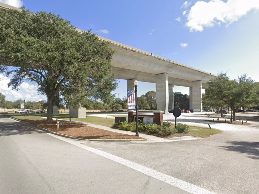
Wando Welch Terminal opened in 1981, before modern Daniel Island development had remade the surrounding geography. A later Global Gateway proposal for a new marine terminal on Daniel Island was a separate port expansion effort with included rail facilities, but SC Ports withdrew the original plan in 2001.
Wando remained the East Cooper container terminal, and I-526 gradually inherited another job: connecting the terminal’s truck traffic to the region’s inland freight network. The highway was not built as a private driveway for the port, but rather it became the practical route because trucks, like everyone else, prefer a direct connection to the larger road system. That made the I-526–Long Point Road link part of both the port story and the ordinary local commute, which can be easily observed by daily commuters.
The missing link
The unfinished southern arc remained tempting because the map makes it look obvious. But maps are quiet about wetlands, bridges, established communities, public cost and the development pressure that follows faster access.
Why supporters kept trying
Why opponents kept fighting
The missing link survived because its case was easy to summarize and difficult to settle. Supporters saw regional connectivity, congestion relief, evacuation capacity, and a long-promised connection from West Ashley to Johns Island to James Island. Opponents saw a hugely expensive highway through marshes, waterways, and a landscape of rural roads and settlement communities – one that could create new development pressure without solving the underlying transportation problems on those islands.
The debate kept returning in new administrative clothing. Environmental review in the 1990s gave way to a 2004 county sales tax measure, then a 2007 funding agreement intended to move the project toward construction. Alternative G became one of the principal routes under discussion, but a preferred line did not make the geography simple. Estimates rose, reviews continued, lawsuits and political promises cycled through, and the project became a familiar local character: always approaching the next milestone, never quite arriving.
In November 2024, Charleston County voters were presented with another half-cent transportation sales tax referendum – twenty years after the first one – that once again included the Mark Clark Extension among its priority projects. By then the costs for the project were staggering, adding to the sour taste from the perception that we have paid for this thing multiple times over. It was soundly rejected by voters. On May 12, 2025 the South Carolina Transportation Infrastructure Bank, SCDOT, and Charleston County agreed to terminate the project’s intergovernmental funding agreement. The long debate has an ending for now, which is not necessarily the same thing as a conclusion.
The highway after the highway
The extension may be dead, but I-526 is not finished. The completed highway now carries the accumulated demands of suburban commuting, airport access, port freight, Daniel Island, East Cooper, and emergency evacuation.
Return to the original map and the temptation is still there: a completed loop on one side, a visible gap on the other, and a future road waiting to be drawn between them. Charleston has decided, at least for this generation, not to continue that experiment across Johns Island. The blank space is no longer merely unfinished infrastructure. It is a policy decision.
Attention and future spending will instead turn to the highway the region already built. I-526 WEST is a defined widening and reconstruction project. I-526 EAST remains a planning corridor, while Long Point Road is a more specific effort to improve access around the Wando Terminal connection. The map has not stopped changing; the proposed line has simply stopped being the only line that matters.
The history of I-526 is therefore not just a story about a road Charleston never finished – it is a story about how every finished piece changed the city around it, and changed what the city asked the road to do next.