August 12, 2020Updated flood zone maps for Charleston County will take effect in January 20211. The maps are based on more accurate…
 April 22, 2020Coleman Boulevard is the main street of Mount Pleasant, SC. It evolved from a colonial road to a suburban highway,…
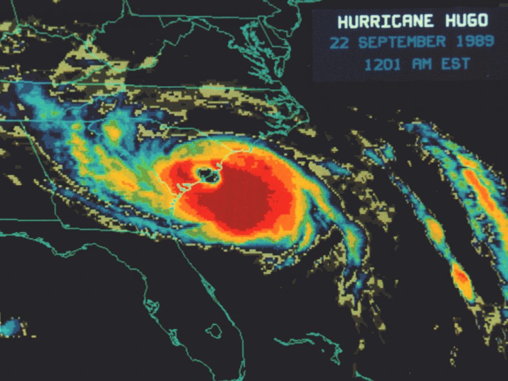
- September 18, 2019Charleston became stronger after Hurricane Hugo in 1989 by improving its building codes, ecosystems, infrastructure, emergency preparedness, and economic diversity.…
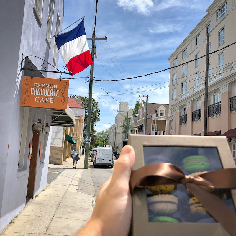
- June 12, 2019Our current experience of Lowcountry French presents somewhere on the spectrum of French rustic/Gullah traditional Parisian patisserie/East Bay café.
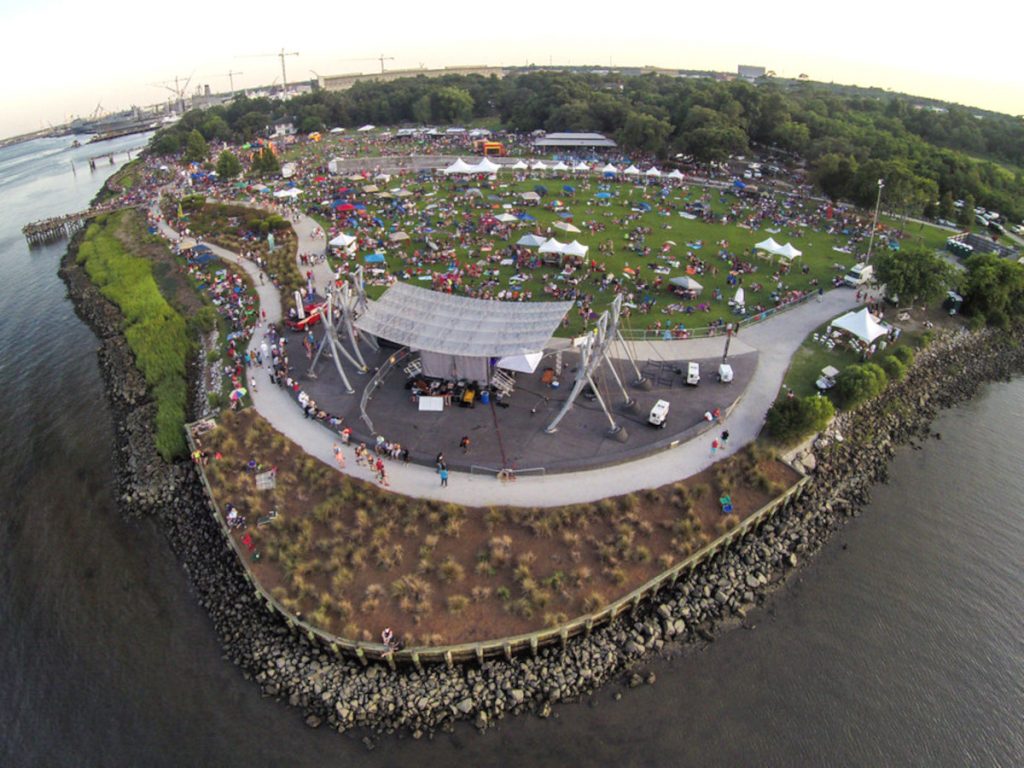
- January 10, 2018Charleston's musical heartbeat isn't confined to clubs. A dynamic festival scene explodes throughout the year, offering experiences as diverse as…
 January 10, 2018There is truth to the concern that because a Charleston snow to this degree is so rare, the combination of…