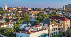
The earliest days of Mount Pleasant coincided with the establishment of Charles Town, leading to its first villages in the late 1700s. The ensuring centuries have seen Mount Pleasant develop into a large urban-ish community, with swathes of residential developments and several commercial centers.
A cohesive town center in Mount Pleasant, however, has not been entirely obvious.
Recent efforts to change that have been contentious.
Old Village
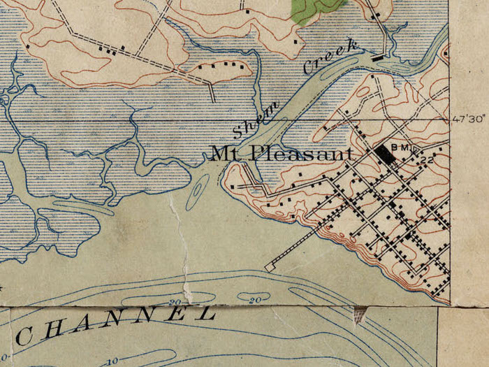
Mount Pleasant historically does have a defined core: commonly known as Old Village, nestled between Shem Creek and Charleston Harbor.
The street grid dates to the early 1800s, and today a bustling little main at Pitt Street hums along very much as it did a century ago.
Old Village was in effect the town of Mount Pleasant well into the early 20th century: a little hamlet that served the surrounding farmland, connected to Downtown Charleston by a ferry jutting out from Hibben Street.
By the 1920s, a trolley service was established that ran to Sullivan’s Island and Isle of Palms, as Mount Pleasant settled into a vacation getaway spot for Charleston.
Georgetown Road
A larger route had existed for some time that connected the Old Village to surrounding farmlands and the rest of the world beyond – initially the colonial era King’s Highway, later Old Georgetown Road.
With the advent of the automobile era, Old Georgetown Road was paved and then connected to the Cooper River Bridge in 1929, linking Downtown Charleston to Mount Pleasant, brushing by the Old Village along its way across Shem Creek.
Not much changed during the Depression Era, however what was once the King’s Highway was poised to become the urbanizing center of Mount Pleasant.


Coleman Boulevard
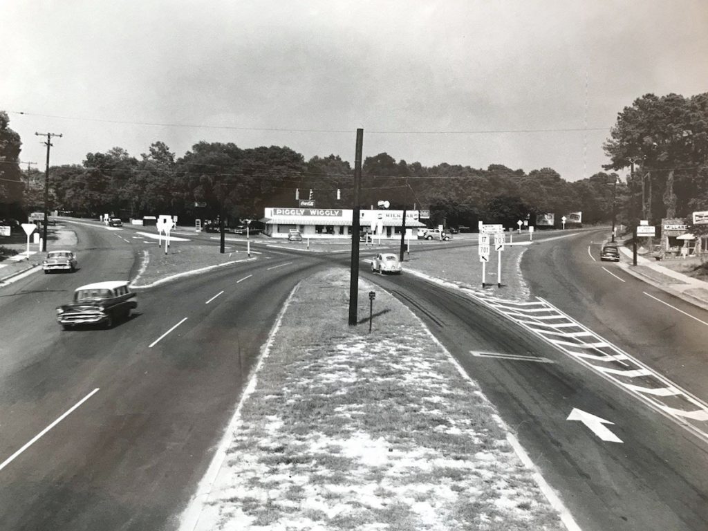
By the 1950s, the postwar economy had been exploding, with shops and hotels sprouting all along Old Georgetown Road as it stretched out to Sullivan’s Island.
The thoroughfare was becoming the de facto main street of Mount Pleasant, pulling business away from the quaint shops of the Old Village.
As the automobile era entered its full roar, Old Georgetown Road was widened to four lanes and then renamed Coleman Boulevard for the mayor that led a transformation the town’s infrastructure.
By the 1970s the fortunes of Coleman Boulevard shifted once again, following the completion of the Highway 17 bypass that connected to a modern, wider, second span of the Cooper River Bridge.
America was suburbanizing and main streets like Coleman Boulevard, despite having only two decades of real commercial growth, suffered a downturn as businesses shuttered.

Revitalization
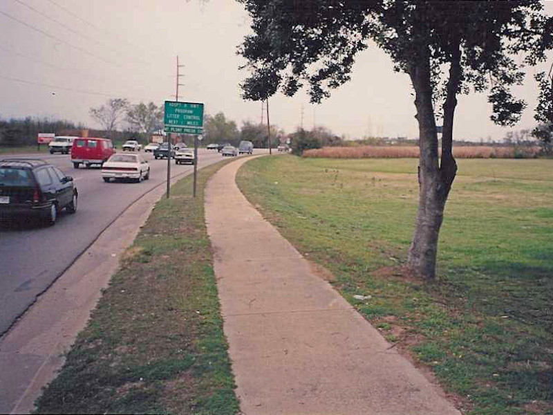
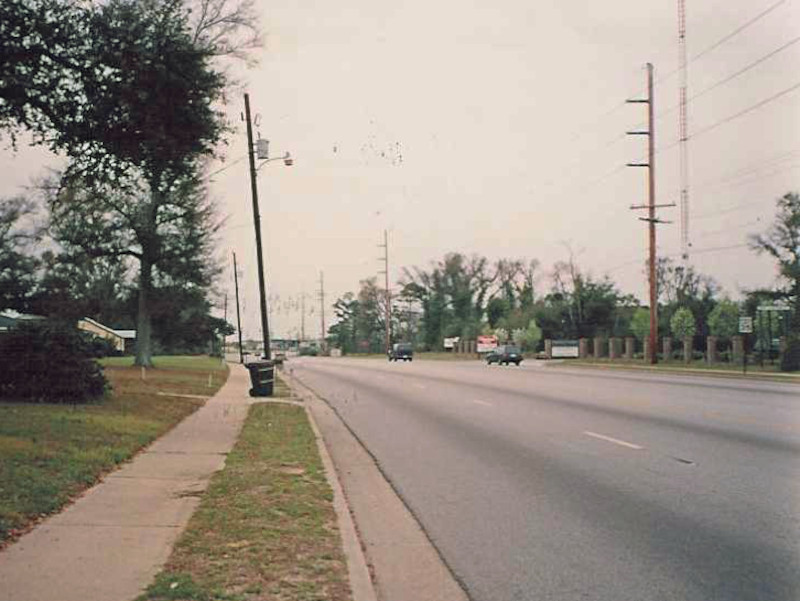
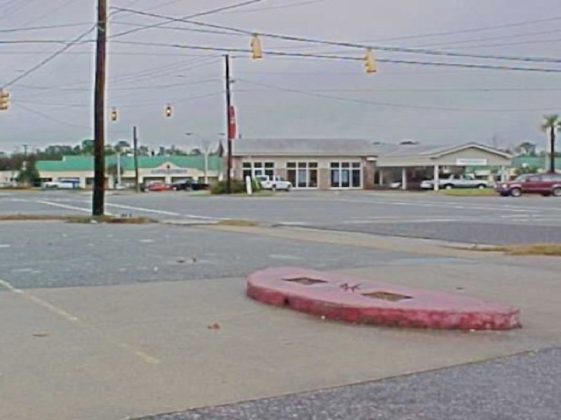
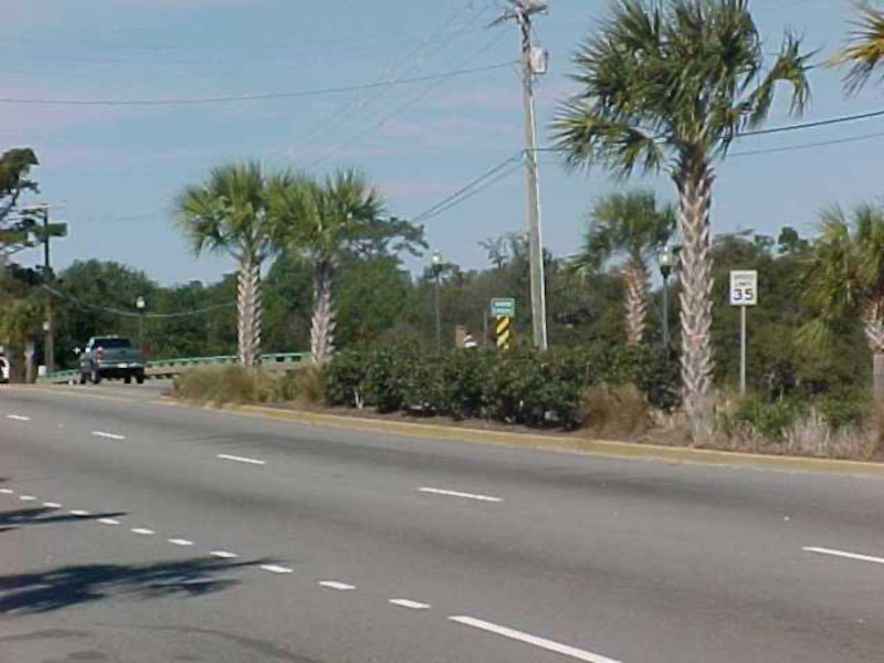
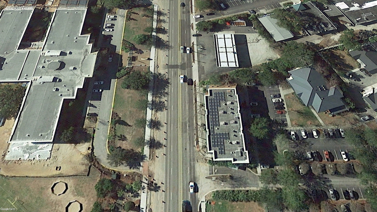
Coleman Boulevard in the 2000s presented as mostly low density commercial retail, with a smattering of shopping centers and strip malls developed in the 1980s-90s. The street was very wide with a big turn median and, while there were sidewalks present, the street itself wasn’t too friendly to pedestrians and cyclists.
Also it was ugly.
As redevelopment opportunities began to attract new investment, the town devised a plan to first beautify Coleman Boulevard, and later, to urbanize it.

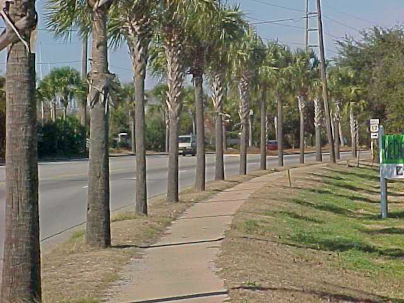
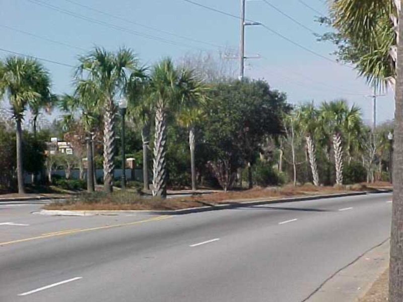
Beautification
- side buffers and some medians accented with plantings
- enhancement of crosswalks
- electrical lines moved underground
- traffic lights upgraded to mast arms
- attractive street lighting
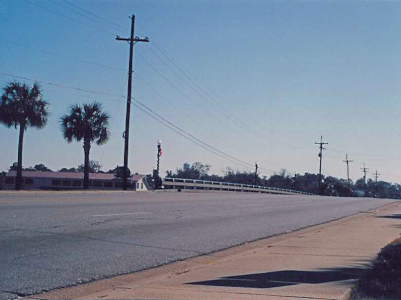
Before
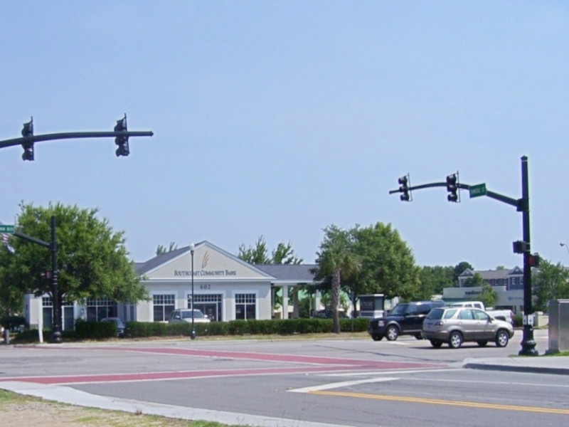
After
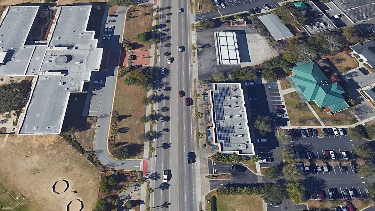
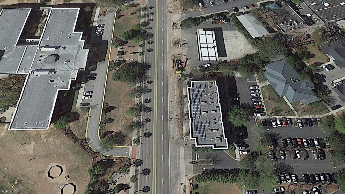
Urbanization
-
- traffic calming with narrowed lanes and restrictive medians
- bicycle lanes from the Cooper River Bridge to Sullivan’s Island
- increased zoning density and building heights
- reduced parking requirements with more parking decks
- mixed-use development encouraged with reduced street setbacks


Pushback
While the enhancements of Coleman Boulevard was well received by many, several groups of residents and business owners were less welcoming to the changes.
Among the complaints was an aversion to urbanization in general, out of concern that Mount Pleasant would be losing its small town character.
A tipping point was the approval of a high density mixed-use development of apartments and shops and the increased traffic it would bring to the area.
The revitalization of Coleman Boulevard brought its own complaints, as the restricted medians required left turns at designated points rather than anywhere in the median.
In addition, the proposal for on-street parking was nixed entirely.

Perhaps a less recognized but very important factor in the streetscaping was a major improvement to drainage, to address a rampant problem of stormwater runoff pollution into Shem Creek.
This process required the removal and replacement of palmetto trees, which in itself caused an uproar.

All of this has led to an idealogical flip on town council, which has since dialed back the plans for further urbanization, particularly on the approach to Sullivan’s Island.
For the foreseeable future it seems that the re-urbanized corridor of Mount Pleasant will be restricted to a stretch of Coleman Boulevard at its core.


