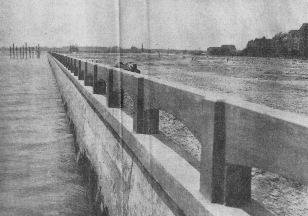
The Charleston peninsula is formed between the Ashley and Cooper Rivers as they open into Charleston Harbor, creating the narrow landform that has shaped the city for more than three centuries. Geography still matters here: street patterns, elevation, flood exposure, density, and access to the water can all change noticeably within a relatively short distance.
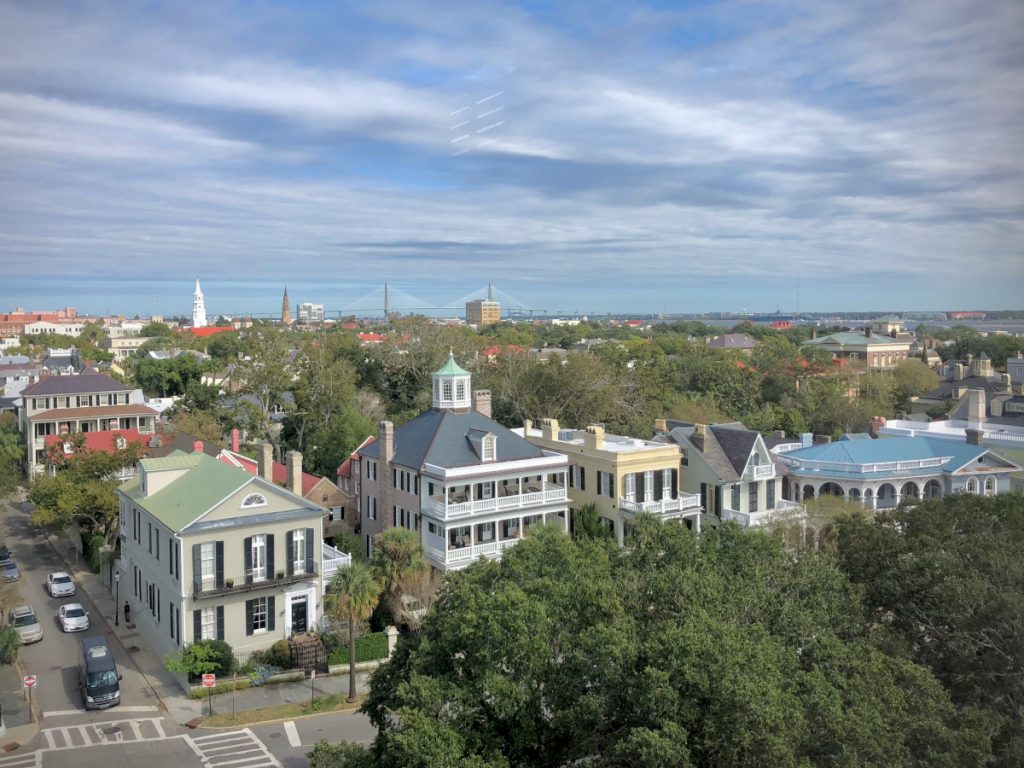
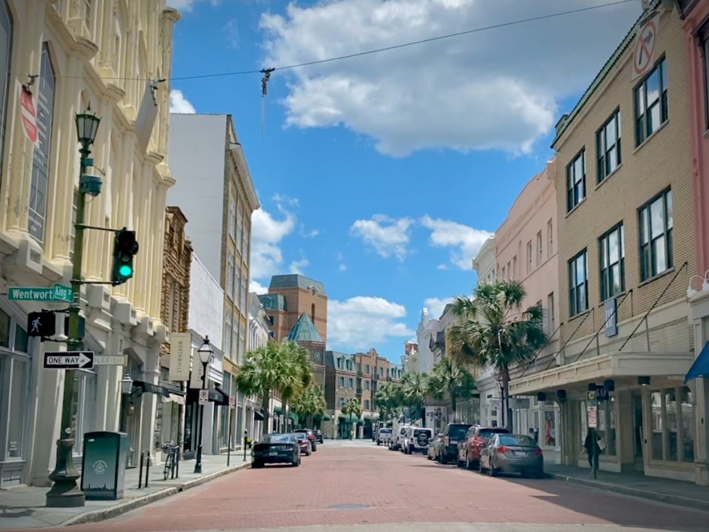
The southern peninsula contains Charleston’s oldest urban fabric, including South of Broad, the French Quarter, Harleston Village, and Ansonborough. Charleston Single houses, masonry residences, carriage houses, and later infill sit on compact lots and streets laid out long before garages became an expectation. The result is Charleston at its most recognizably urban – beautiful, occasionally impractical, and unusually easy to navigate on foot.
Moving north, the peninsula becomes progressively more varied. Cannonborough/Elliottborough and Radcliffeborough mix historic houses with apartments, restaurants, institutions, and newer construction, while neighborhoods such as Hampton Park Terrace, Wagener Terrace, and North Central reflect later phases of the city’s growth. Lots generally become larger, architectural styles broaden, and the relationship between residential streets and the city around them changes.
Farther north, the Upper Peninsula is still evolving through redevelopment and infill. Taken together, these areas make “Downtown Charleston” less a single real estate market than a collection of distinct neighborhoods compressed onto one peninsula. A few blocks can change the architecture, flood considerations, parking situation, walkability, and price considerably – which is why the neighborhood matters at least as much as the Downtown Charleston address.