Isle of Palms
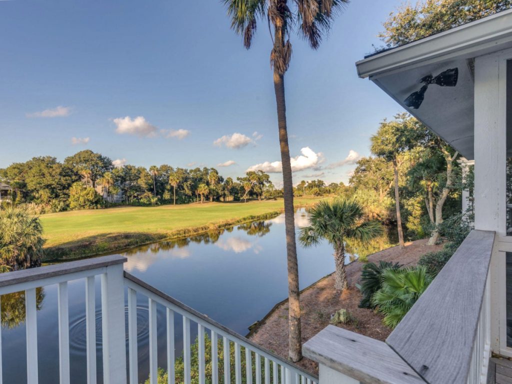
Isle of Palms stretches along the Atlantic just east of Sullivan’s Island, with residential streets running between the beach and the Intracoastal Waterway. Much of the island developed as a beach community during the twentieth century, and today it combines full-time residences, second homes, vacation rentals, condominiums, and oceanfront property within a relatively narrow strip of land.
The island changes noticeably from one end to the other. Around Front Beach and Ocean Boulevard, restaurants, shops, beach access, and seasonal visitors create the busiest part of town. Farther north, residential streets become quieter before giving way to Wild Dunes, where golf courses, condominiums, resort amenities, and gated neighborhoods create a distinctly different setting from the rest of the island.
For buyers, the ocean is only part of the equation. Flood and insurance exposure, beach erosion, rental activity, parking, public beach access, and the route on and off the island all deserve attention, particularly because the shoreline itself is actively managed and continually changing. The City’s current planning work treats erosion, beach management, and sea-level rise as ongoing concerns rather than occasional inconveniences.
Isle of Palms occupies a useful middle ground among Charleston’s beach communities: more tourism and resort infrastructure than Sullivan’s Island, less improvisational than Folly Beach, and still residential enough that those comparisons only get you so far.
Get updates for Isle of Palms
Homes for Sale
Neighborhoods
Education
Elementary School
Middle School
High School
Charter School
Recreation
Parks & Gardens
Water Access
Playgrounds
Nearby Regional Parks
Next Steps
If Isle of Palms looks like it could be a match for you, reach out to see if hiring me is a good fit too: [email protected]