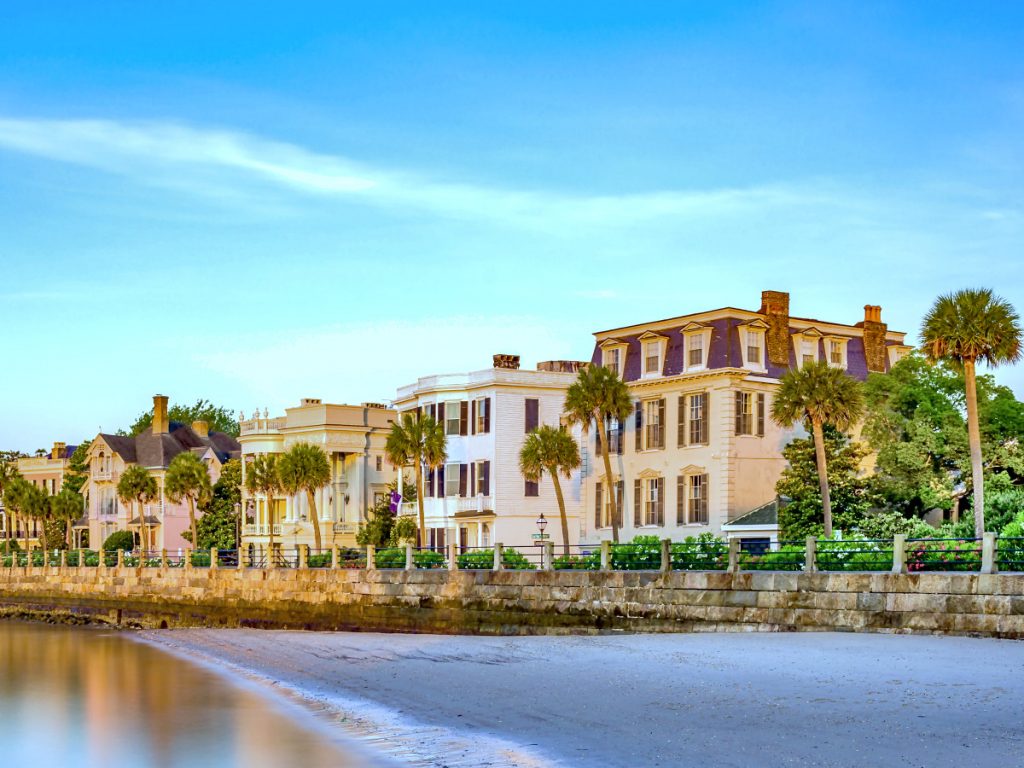
June 23, 2023Explore homes on the Battery in Charleston – including historic residences along East Battery Street, Murray Boulevard, and South Battery…
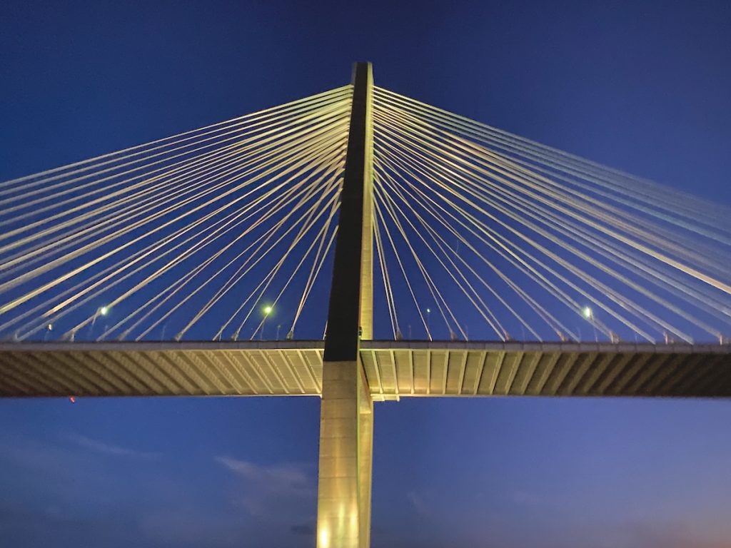
- June 8, 2022Charleston's bridges do more than move traffic from one peninsula or island to another – they shape commuting patterns, development…
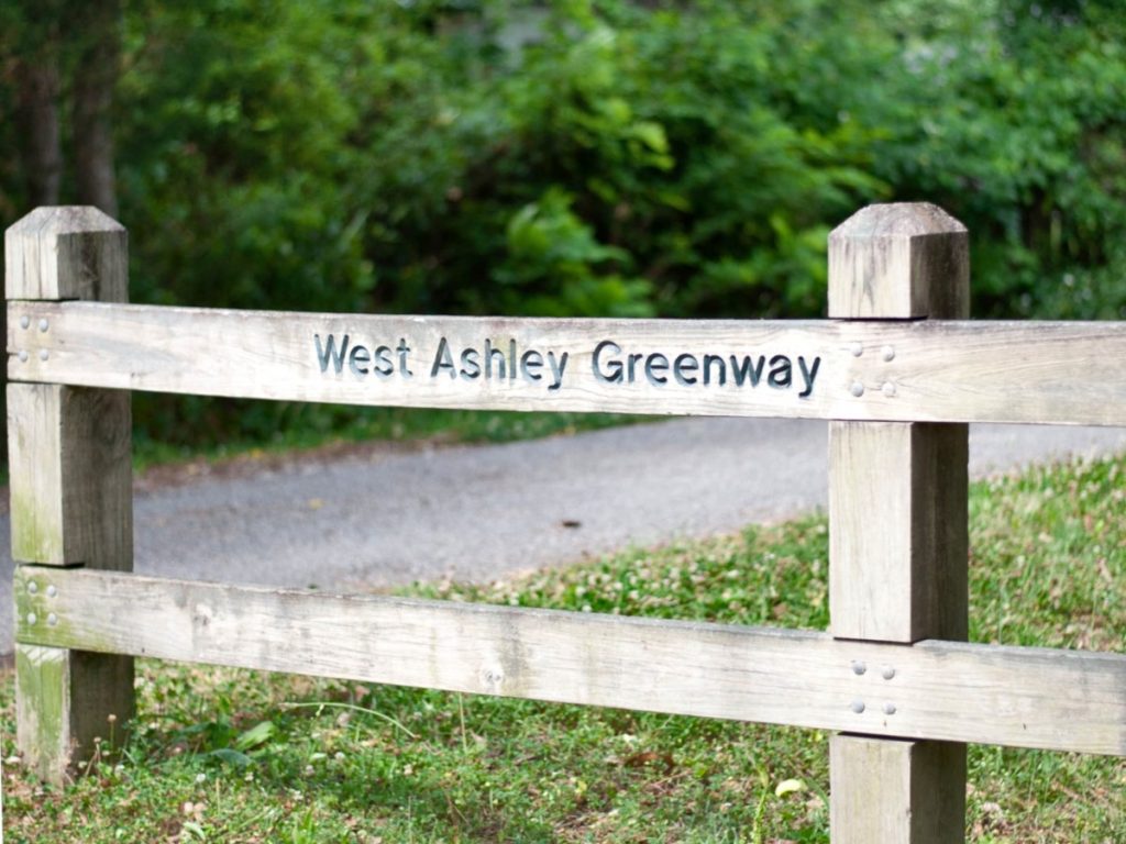
- March 25, 2022The West Ashley Greenway accommodates walkers, joggers, cyclists, and naturalists through more than ten miles of linear park, connecting a…
 June 8, 2021
- April 22, 2020Coleman Boulevard is the main street of Mount Pleasant, SC. It evolved from a colonial road to a suburban highway,…
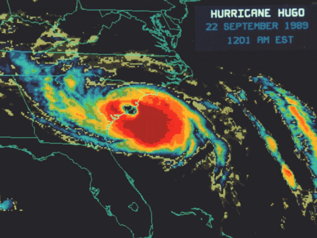
- September 18, 2019Charleston became stronger after Hurricane Hugo in 1989 by improving its building codes, ecosystems, infrastructure, emergency preparedness, and economic diversity.…
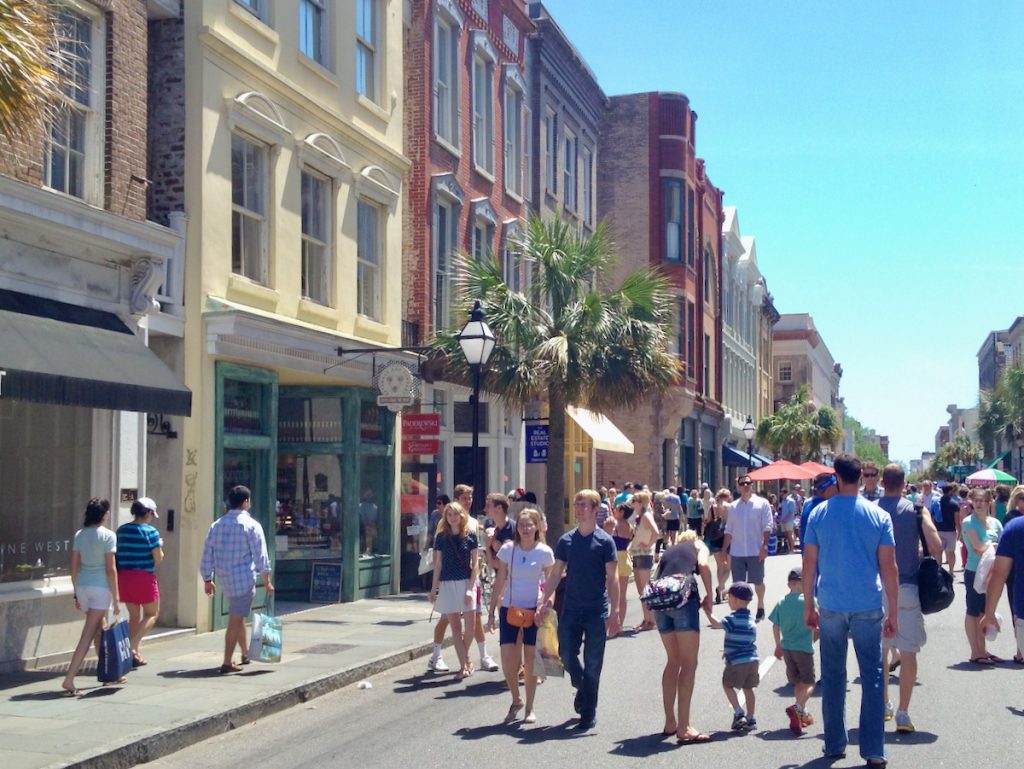
 March 7, 2018Would it be feasible and beneficial to extend the pedestrian-first concept of Second Sunday to every day?
 February 22, 2018Charleston combats tidal flooding by installing check valves in stormwater drains, effectively reducing street flooding during high tides. Early results…
 June 28, 2016A blend of single-family homes, condominiums, student housing, and senior living facilities.
 February 11, 2015Marking the boundary between historic Charleston and the Upper Peninsula district, Huger Street has served as a secondary roadway connecting Morrison…
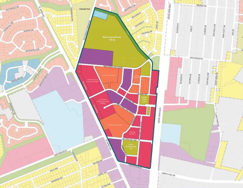
 August 5, 2014Charleston's intentions for The Upper Peninsula Initiative are to direct population growth towards the city center in an effort to mitigate…
- June 24, 2014The sources and quality of the drinking water in and around Charleston, addressing pollution and treatment.
 June 3, 2014With limited options for infill homesites in the rest of the peninsula, city planners want to ensure that the upper peninsula progresses in…
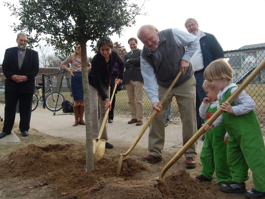
- December 6, 2013The city of Charleston has embarked on an ambitious project known as the 10,000 Trees Initiative. Spearheaded by the Charleston…
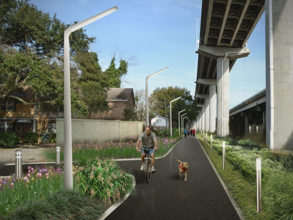
- November 10, 2013A transformative project through the center of the peninsula of Downtown Charleston is in the works – a linear park…