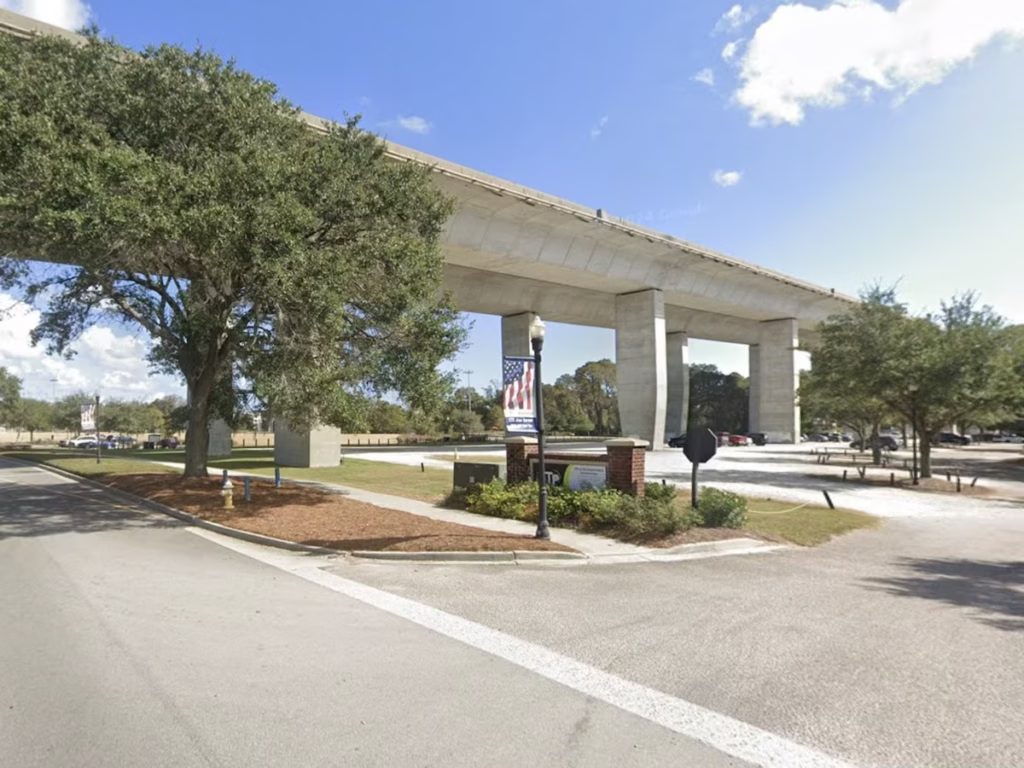
May 27, 2025Charleston built I-526 in pieces, abandoned its long-debated extension, and is now rebuilding the highway that reshaped Daniel Island, Wando,…
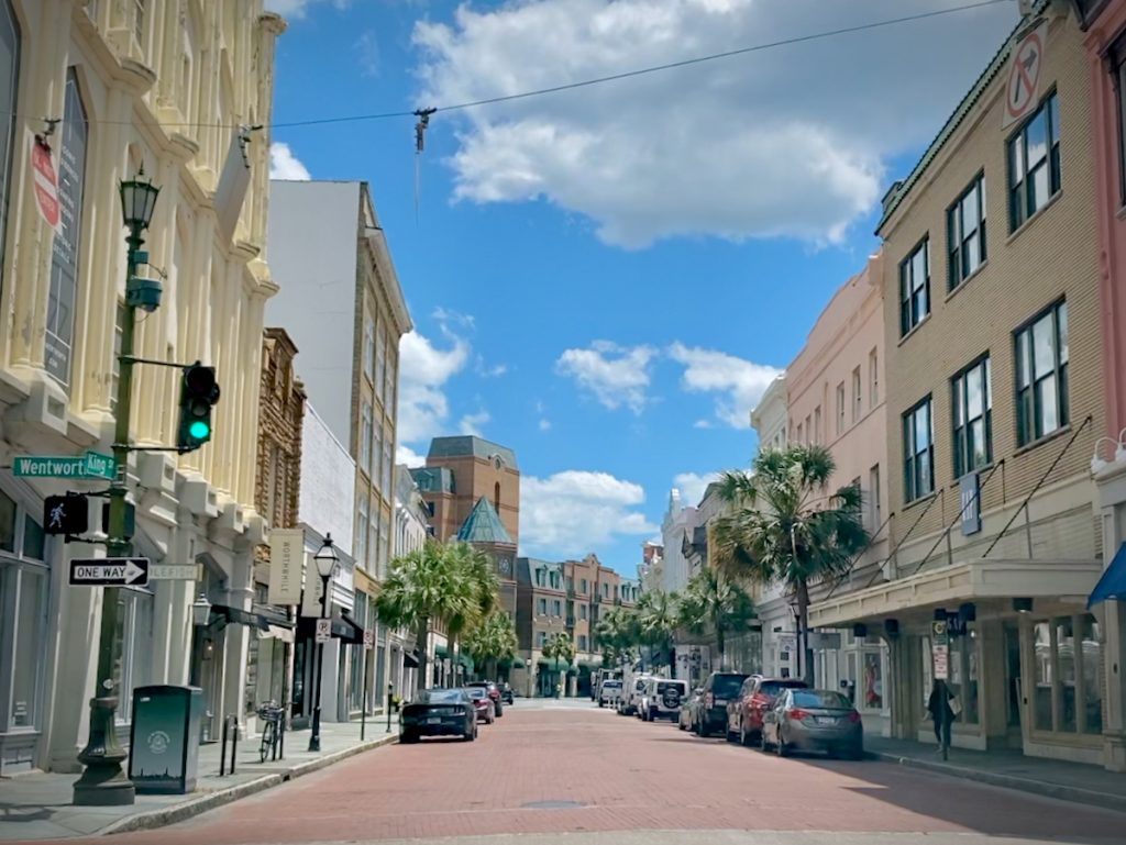
 October 28, 2022Compare walkable neighborhoods in Charleston with local insight, maps, live listings, and practical tradeoffs for buyers choosing where to live.
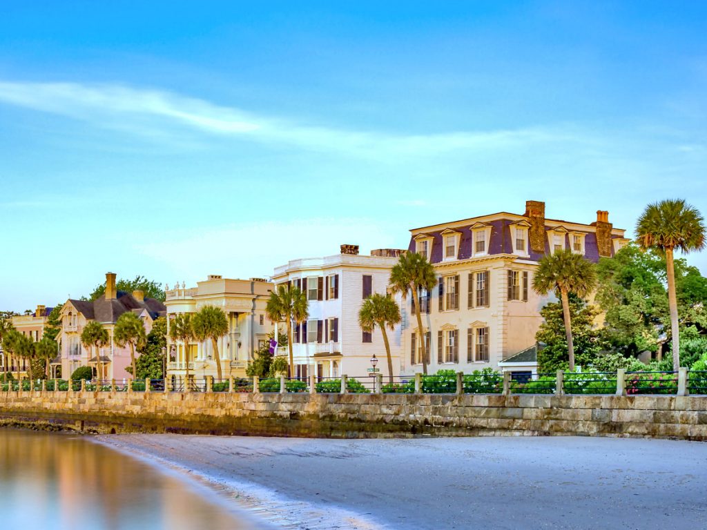
- June 28, 2022Explore homes along Charleston’s Battery, from East Battery and White Point Garden to the Low Battery, including architecture, views, history,…
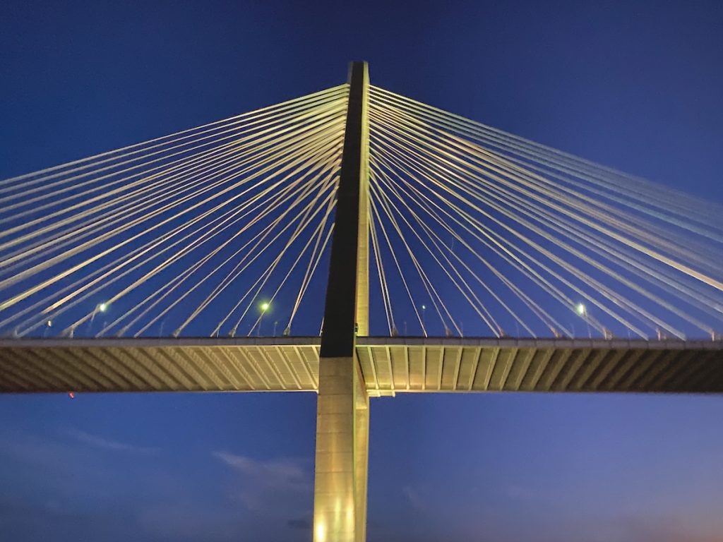
- June 8, 2022Charleston's bridges do more than move traffic from one peninsula or island to another – they shape commuting patterns, development…
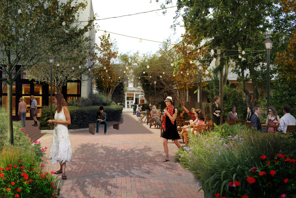
 September 1, 2021See how a 2021 proposal to activate Liberty Center at 151 Meeting Street evolved into American Gardens and a new…
- June 8, 2021A look at Goose Creek’s walkability plan, updated with Central Creek, Red Bank, zoning changes, and what buyers should watch…
- April 22, 2020How Coleman Boulevard became Mount Pleasant’s main-street experiment, from Old Village history to streetscaping, stormwater, pushback, and suburban retrofit.
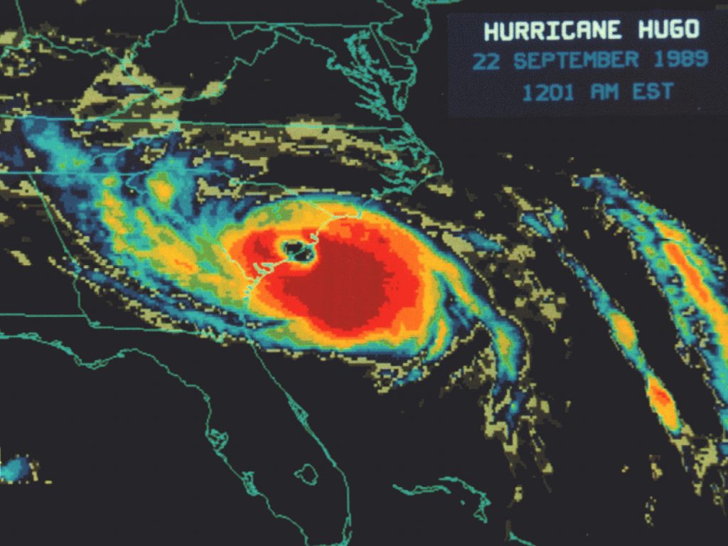
- September 18, 2019Thirty years after Hurricane Hugo, a look back at the storm that reshaped Charleston’s relationship with hurricanes, building standards, flood…
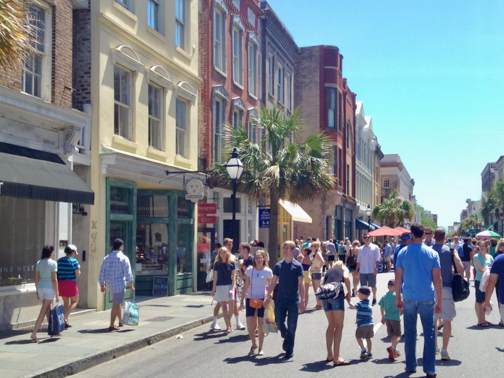
- March 7, 2018Would it be feasible and beneficial to extend the pedestrian-first concept of Second Sunday to every day?
 June 28, 2016A look at the proposed Lorelei development on Laurel Island, comparing Atlantic Station with Charleston’s scale, architecture and waterfront.
 February 11, 2015Marking the boundary between historic Charleston and the Upper Peninsula district, Huger Street has served as a secondary roadway connecting Morrison…
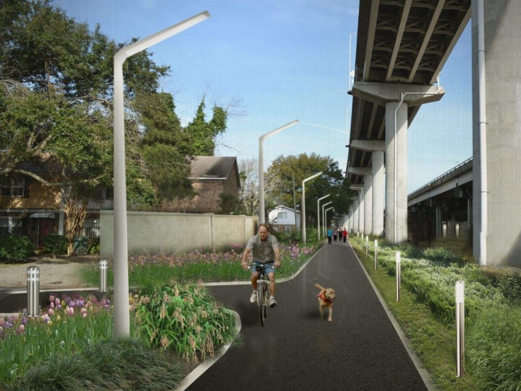
- November 10, 2013A transformative project through the center of the peninsula of Downtown Charleston is in the works – a linear park…