Notes from Bryan
Sandlapper Journal
A collection of observations on Charleston, real estate, history, planning, technology, and other subjects that pique my interests.
sand•lap•per
noun
An early regional name for a South Carolinian, especially one from the state’s sandhills and coastal regions.
 March 25, 2022
West Ashley Greenway
The West Ashley Greenway accommodates walkers, joggers, cyclists, and naturalists through more than ten miles of linear park, connecting a number of neighborhoods and business centers. Its path parallels that of Savannah Highway. March 9, 2022
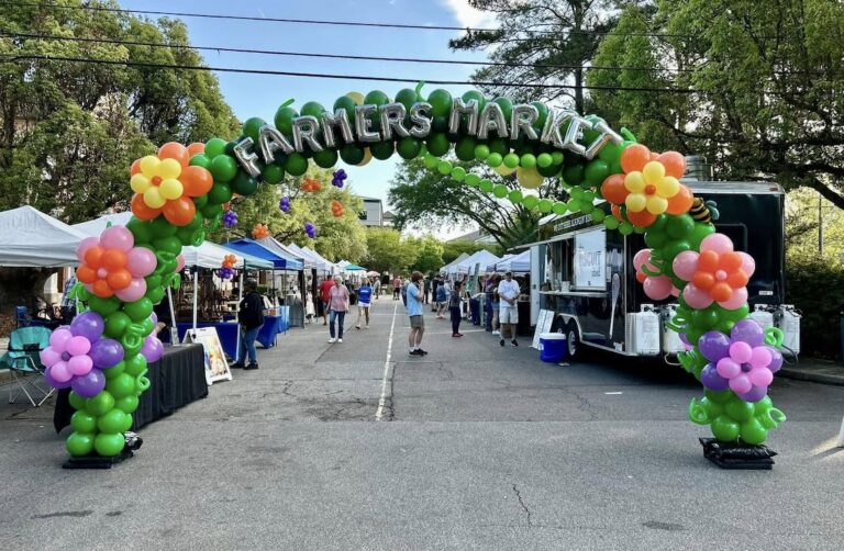
Farmers Markets around Charleston
Explore recurring farmers markets around Charleston, SC, organized by area with current schedules, locations, map links, and official market information. September 1, 2021
Liberty Center
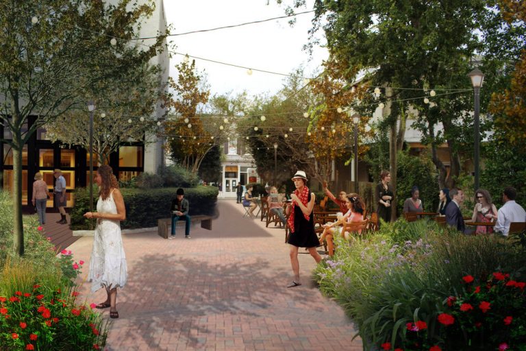
See how a 2021 proposal to activate Liberty Center at 151 Meeting Street evolved into American Gardens and a new restaurant space in downtown Charleston.- June 8, 2021
A Walkable Goose Creek
A look at Goose Creek’s walkability plan, updated with Central Creek, Red Bank, zoning changes, and what buyers should watch near the emerging core.  January 28, 2021
Astronaut Ron McNair
Ronald McNair’s journey from segregated Lake City, South Carolina, to MIT, NASA, the Space Shuttle Challenger, and a lasting legacy in science and education. August 12, 2020
New Flood Zone Maps
A 2020 look at Charleston County’s revised flood maps, what changed from the 2004 baseline, and why buyers still need property-specific flood-risk judgment.- May 4, 2020
Shrimp & Grits
A practical Charleston shrimp and grits recipe with stone-ground grits, seasoned shrimp, and a flexible pan gravy built for brunch, dinner, or whenever. - April 22, 2020
Rethinking Coleman Boulevard
How Coleman Boulevard became Mount Pleasant’s main-street experiment, from Old Village history to streetscaping, stormwater, pushback, and suburban retrofit. - April 11, 2020
Invasive Plants in the Lowcountry
A broker-naturalist’s guide to invasive plants in the Charleston Lowcountry – what to look for, what they can reveal about a property, and what to do next.





Recurring themes
Some topics come up more than others.
Charleston, real estate, history, planning, technology, and other recurring interests.
Browse topics